SERVICES

Land parcel formation
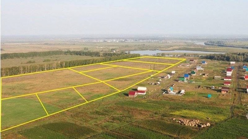
Land parcel formation and conversion projects define the boundaries of land plots.

Rural development projects
Formation of farmer’s homestead on agricultural land without changing its purpose.

Cadastral (geodetic) measurements of land parcel
In this way, the land parcel plan, area and other data are determined.

Preparation of topographic plans
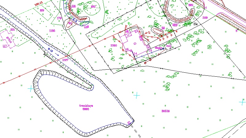
Topographic plans depict relief, underground constructions.

Control pictures of engineering networks
First of all a vertical and horizontal photo of underground engineering networks is made.


Geodetic works on the construction site
The geodesist begins to participate at the very beginning of construction.

Plans for a notary contract
The plan shall be drawn up on the basis of the agricultural area under management in the register and the operation in kind.

Cadastral measurements
It is a precise fixation of the size, value, physical condition, changes or other indicators of real estate.
REVIEWS
WHY GEOLIMBAS?
We always offer professionally and timely done work.
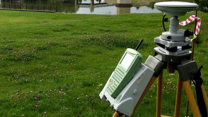
We carry out all geodetic measurements using modern equipment and the quality of services is ensured by the certificates of qualification and the huge experience of our employees.
| |
CONTACT AND REQUESTIf you have any questions about services and rates. |


